Summary
This project generates new geoscience information for mineral exploration in the highly prospective Toodoggone mineral district in British Columbia's North Central Region.
The Toodoggone mineral district (also known as the Toodoggone River area) in the North Central Region is highly prospective and hosts several significant epithermal and porphyry mineral deposits. Until recently, exploration activities in the area focused mostly on specific styles of mineralization and on high-grade ore-zones.
This project evaluated the range of individual mineral deposits and occurrences to help reconstruct the shape and depth of a possible larger, continuous system. This model will help identify areas of high mineral potential and better define mineral potential in the Toodoggone mineral district.
This project aims to:
The new earth science information generated by this project will help to attract mineral exploration investment to the Toodoggone mineral district. The area is remote, and field work is only possible for part of the year, so this project helps to focus follow-up research and mineral exploration in the period where field work is possible. Knowledge of mineralization processes and alteration styles presented in the form of easy-to-access and well-illustrated descriptions of alteration and rocks provide guidance for mineral exploration decisions.
This earth science data can also provide First Nations, regional districts, governments and communities with a better understanding of the resources in their area, leading to more informed land-use and resource management decisions.
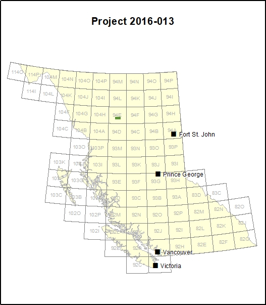
The Toodoggone mineral district is a remote area between Smithers, Dease Lake and Fort Saint James in northern British Columbia. This study focused on a 2,400 km2 area within the NTS map sheet 94E. Road access to the area is limited.
The Toodoggone mineral district represents the eastern extent of the Stikine Terrane and is separated from the prolific ‘Golden Triangle’ by younger sedimentary rock of Bowser and Sustut Basins. Centerra Gold’s Kemess East (KE) and Underground (KUG) projects are in advanced stages of exploration and development respectively and the nearby Kemess South open pit mine was in production from 1988 to 2011. The KUG deposit is a copper-gold-silver porphyry deposit and the KE deposit is a copper-gold-silver-molybdenum porphyry deposit.
The Toodoggone mineral district also hosts the idled Shasta epithermal gold-silver mine and Baker mill. Both porphyry copper and epithermal silver and gold deposit types found in the Toodoggone mineral district are possibly part of a larger, continuous mineral system.
The team combined field observations with the study of alteration assemblages, vein types, trace metal concentrations and the evaluation of fluid inclusions. A normalized-element ratio index, the MDRU Porphyry Index (MPIx) was developed and applied to the Toodoggone River area.