Summary
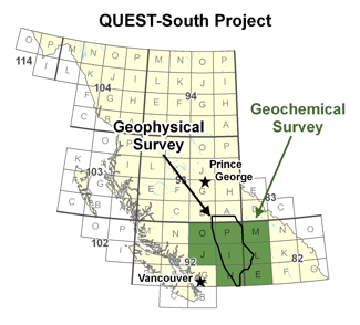 The Mira Geoscience Advanced Geophysical Interpretation Centre has completed 3D inversion modelling, integration, and visualization of airborne gravity and magnetic data for the QUEST-South regional area in south-central British Columbia, Canada. This project was an enhanced continuation of the completed Geoscience BC inversion modelling project for the QUEST survey area. The objective of this work was to provide useful 3D physical property products and accessible knowledge for the exploration of different resources in BC following the release of the data sets.
This work considers all airborne gravity and magnetic data available for the QUEST-South project area. The inversions were performed using the UBC-GIF GRAV3D and MAG3D suite of algorithms. The products are 3D inversion models of density contrast, magnetic susceptibility and integrated products combining the individual physical property models. The extensive set of digital deliverable products that accompany this report include: physical property cut-off isosurfaces, observed and predicted data, and the inversion models in several commonly used formats. A suite of 3D PDF scenes has been produced to aid in visualization and communication. The deliverables from this project are consistent with past project deliverables allowing seamless regional exploration in south-central BC.
The gravity and magnetic data were modelled in 3D using 9 tiles after separation of regional signal. The tiles were combined to construct a detailed model over the whole area. Final density contrast and magnetic susceptibility models were integrated into a Common Earth Model ready for 3D-GIS analysis, interpretation, and integration with geologic, drillhole, and other geophysical information. The resulting physical property models provide guidance to the regional structure, prospective geology and location of alteration and mineralization and can be used to guide regional targeting and help design more detailed, follow-up data acquisition. The inclusion of geologic or physical property information in the inversion from maps, drillholes, and samples was not within the scope of this project, although it is expected that the integration of these data would improve the resulting models, especially at the local scale.