The Need
Some softer soils, sediments and geological conditions found in the Peace Region of northeastern BC have the potential to amplify ground motions. With an increase in seismic activity from hydraulic fracturing and fluid injection at oil and gas sites, it is important to understand how this can occur so that any risk can be reduced and managed.
This project extends a bedrock map created in 2015 to include all areas where monitoring of induced seismicity is required by the BC Oil and Gas Commission (OGC). The project also provides geophysical data from multiple sources, including new project-derived data to generate hazard maps for the region.
Project Goals
To provide hazard maps that shows how and where amplified ground motion is most likely to occur in the Peace Region.
Project Benefits
The data provided by this map provides industry, regulators, communities and First Nations with a better understanding of the risks associated with ground motion in the Montney play and Fort St John area.
The information will be used to improve industry processes and protocols to manage and reduce risk of damage resulting from hydraulic fracturing and fluid injection used by the oil and gas industry.
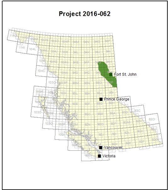
Survey Area
The Peace Region, including areas around Fort St John and Dawson Creek, where there is significant oil and gas industry activity and infrastructure.
