string(19) "[Energy-Geothermal]"

Curie Point Depth Mapping Pilot Study in Northwest British Columbia

Lead Researcher(s):  J. Witter

Project ID:  2016-049

Key Research Organization(s):  Mira Geoscience Ltd.

Project Location:  Northwest BC

Strategic Focus Area:  Energy-Geothermal

Summary


The Curie Point Depth Mapping Pilot Study was over a small area of northwestern British Columbia. The project used used regional-scale magnetic survey data to map the depth in the Earth's crust where magnetization disappears. When used in combination with other data (e.g. heat flow) it can be used as a regional-scale geothermal prospecting tool.

Survey Area

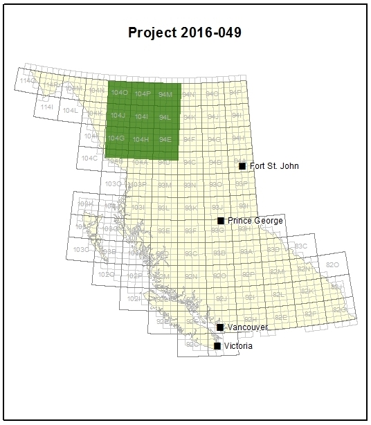
The Curie point mapping pilot study was over a 350 km x 350 km area of northwestern British Columbia.

What was found?

Based on the results, the authors recommend using the Curie point depth mapping technique across BC to help guide geothermal exploration programs.

This pilot study demonstrated that deep crustal temperatures and heat flow can be estimated for British Columbia using a Curie point depth methodology.

Deliverables