The Need
The Skeena Arch hosts several producing and past-producing mines such as the Endako molybdenum mine and the Huckleberry, Bell and Granisle copper-gold mines.
Despite the region’s mineral productivity, the origin of these deposits is only partially understood. Some parts of the project area had not seen new detailed mapping since 1976, and the discovery of new deposits could attract mineral exploration investment.
Project Goals
This project’s objectives were to:
- Interpret data from parts of Geoscience BC’s Search Phase I project to produce a structural framework map and dataset;
- Use available imagery of ASTER data to develop an alteration intensity map;
- Integrate the new datasets with existing geological data into a newly compiled geological map;
- Ground-truth and field check geophysical data to generate a new regional geological map; and
- Develop a structural and geological framework for the western Skeena Arch.
Benefits
Combining complementary data sources into a single map helps mineral explorers, land managers and others to make more informed decisions, and may bring new investment to the area. The new 1:50,000 scale geological map covering the area southwest of Smithers (NTS map sheet 093L/13) develops a detailed understanding of the local structural controls on mineral deposits.
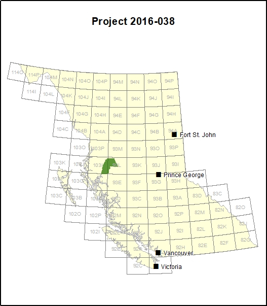
Survey Area
This project compiles data for the greater Search Phase I area and provides greater detail in the NTS 093L/13 map sheet area approximately 30 km east of Terrace and 75 km southwest of Smithers.
How was the data collected?
In 2015, Geoscience BC’s Search Phase I survey mapped the distribution of magnetic minerals below the surface for an area from Terrace in the west to Smithers in the east. In 2016, a field mapping team composed of geologists from the British Columbia Geological Survey and the University of British Columbia’s Mineral Deposit Research Unit (MDRU) compared the Search Phase I survey magnetic data and archive data collected by satellites with materials on the ground.
What was found?
Structural deformation within the Skeena Arch formed conduits for magmatic activity which contributed to widespread porphyry formation and related mineralization. In addition to known Late Cretaceous and Eocene porphyry mineralization, the project also identified previously unknown Middle Jurassic volcanogenic massive sulphide (VMS) deposits. The northern area, where the productive Eskay Creek deposit is found, is hypothesized to have had significant magma emplacement capable of generating large hydrothermal cells, which in turn created the mineralized deposits.
Although the research team’s samples of the newly identified Jurassic VMS deposits lacked significant geochemical results for metals, the longevity of the structural system that formed the Skeena Arch and the lateral equivalency of the Jurassic lithology in the study area compared with that of Eskay Creek suggests that the region may contain undiscovered VMS deposits similar to the Eskay Creek deposit.
The project results are recorded on a 1:50,000 geology map of NTS 093L/13. The potential for undiscovered copper, silver and molybdenum deposits is high and this map and report provide an invaluable tool for on-the-ground mineral exploration activities and decision-making.