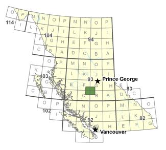
Mira Geoscience has completed geologically-constrained 3D Earth modelling and interpretation of gravity and magnetic data for the Nechako-Chilcotin plateau, British Columbia. This work has been conducted for Geoscience BC to aid in the geologic understanding of the extents of existing sedimentary basins, or remnants of former basins, that are only partly recognized beneath the volcanic and glacial cover. Understanding of this basin system, as well as basin-bounding faults, and lithological variability in volcanic units and basement rocks, can help economic prioritization of mineral, oil and gas, and geothermal exploration targets.The 3D Earth modelling effort undertaken for this project has been employed to reconcile the constraining data (geologic mapping, wells, physical property data, magnetotelluric and seismic interpretations) with gravity and magnetic data. The aim is to better understand and refine the structural interpretation of the area, specifically attempting to resolve basin lithology and geometry. The 3D integrated Earth modelling and data reconciliation process involves iterative interpretation as the model evolves and brings together in a geologically reasonable and consistent manner all available geoscientific constraints.
The GOCAD Mining Suite 3D geologic modelling and interpretation software platform was used for data compilation, geological modelling, property modelling, and for dynamic linking to the Vertical Prism magnetics and gravity geophysical modelling software from Fullagar Geophysics.
The result of this effort is a 3D Common Earth Model that is both lithological and petrophysical in nature, and honors all available observed and interpreted data where possible. The model results are presented both as 3D surfaces representing stratigraphy, and as geological and physical property block models that provide guidance for delineation of geologic units, basins and structures, deep intrusive bodies, and, ultimately, resource exploration targets of interest.
To fully assess the results, the authors recommend that the accompanying digital results be reviewed in a 3D GIS environment in conjunction with this report. An extensive suite of digital deliverables has been prepared for distribution. The deliverables include several format types: ASCII format, GOCAD Grid Objects, GRD Model Sections, TIFF Inversion Slices, UBC-GIF Format and DXF Geological Surfaces (Geological Model only). For more information, please refer to the final report.
 In order to further understand the geometry of the Nechako Basin for future exploration, the Mira Geoscience Advanced Geophysical Interpretation Centre (AGIC) conducted 3D constrained inversion modeling of airborne gravity and magnetic data. The constrained gravity inversion modeling incorporates existing processed seismic lines, wells, geologic mapping, test MT lines, and density measurements to guide the solution of a depth to basement model. Final products guide future exploration in the area, specifically identifying important structures and basement highs within the Nechako Basin, and providing information for rapid exploration in this area.