Summary
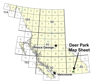 This project focused on geological mapping and compilation of the 1:50,000 Deer Park map sheet 082E/08, located within the Christina Range of southern British Columbia, mainly as a base for evaluating the potential for Tertiary-age precious metal mineralization as well as base metal mineralization. The project included approximately 40 days of field mapping, concentrated in large part in areas of higher mineral potential or mineral occurrences, compilation of all geodata in digital format, and evaluation and upgrading of mineral occurrences (for BC MINFILE). The data integrated to produce geological maps, at scales suitable for directing and focusing mineral exploration (1:20,000; 1:50,000).
The map sheet is along the eastern edge of the Penticton (082E) sheet, northwest of the Rossland Camp and northeast of the Greenwood Camp. The Franklin gold camp is located immediately north of the map sheet. Recent exploration activity has been moderate throughout the area, concentrated mainly in the Franklin Camp and south into the Deer Park sheet, and in the southern part of the map sheet.
In addition to mapping, the project includes compilation of all geological data, from assessment report, government maps and unpublished industry maps and reports. The compiled data is in digital format, integrating stream geochemical data with geological maps and published regional geophysical surveys. This data provides a framework for evaluation of metal, primarily gold, targets within the area. Mineral deposit site visits, and an update of occurrences for BC MINFILE will provide a base and impetus for renewed and continued exploration.
A geological map and reports, as well as new models for Tertiary-age gold mineralization, should focus exploration activity in an area of British Columbia that, due in part to past limited access, lack of recent government or university input, and poorly understood geology, is historically underexplored. This is despite large and well-known gold camps to the northwest (Franklin), southwest (Greenwood) and southeast (Rossland).