Summary
The QUEST-West Project and Mountain Pine Beetle Infestation areas in central British Columbia have high potential for discovery of additional mineral resources. Previously, drift exploration studies have been conducted in region to assist the mineral industry in locating new prospects where traditional exploration techniques have been hindered by the thick cover of glacial sediment that masks the bedrock surface.
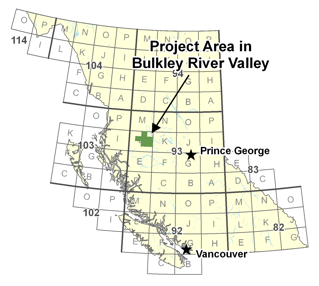
Mineral exploration by traditional exploration techniques has been hindered in west-central BC because of a thick and nearly continuous cover of glacial sediment that masks the bedrock surface. The bedrock in the region has a high mineral potential; several active mines and past producers are located in the project area. Regional till geochemistry surveys have been used to determine the background mineral composition and identify anomalous concentrations that can be traced to bedrock sources. The geochemical composition of till is directly influenced by the bedrock geology and dominant direction of glacier flow during the last glaciation (Late Wisconsinan).To assist the mining industry in locating new mineral prospects, a two-year project was undertaken in west-central BC in an area approximately 340 km east of Prince Rupert and 400 km west of Prince George. This project was undertaken in an area that is within Geoscience BC's QUEST-West Project area and the Mountain Pine Beetle-Impacted Zone.
Specifically, this project delivers till geochemical and clast lithology data for the Bulkley River valley and adjacent areas (encompassing parts of NTS map areas 093L/07, /08, /09/, /10, /11, /15); information that is not publicly available. The data was collected for the British Columbia Geological Survey (BCGS) in 1996, as part of regional till sampling and Quaternary geology studies in the Babine porphyry copper belt of west-central BC (Levson, 2002). The BCGS project was a component of a program of multi-disciplinary and collaborative research with the Geological Survey of Canada (GSC), universities and the mining industry under the Nechako National Geoscience Mapping Program (NATMAP) in central BC. This till geochemical and clast lithology data has not been previously published. Its release will provide information about the background geochemistry and Quaternary geology of this part of west-central BC.
The goal of this project was to provide the mineral exploration community additional information characterizing the glacial materials, which in this region forms a near-continuous cover masking the bedrock surface. Combined with existing geological and geophysical data collected for Geoscience BC, and historical databases archived at the BCGS and GSC, this information will assist companies in identifying new exploration targets and re-evaluate known mineral occurrences. These activities will promote further investment in the resource exploration and development sector in this part of BC.