Summary
 Airborne gamma-ray spectrometric and magnetic geophysical surveying was completed over the Bonaparte Lake area, BC, in the eastern half of NTS 92 P in the fall of 2006. The aim of the survey was to encourage new private sector investment in resource exploration, to aid in the assessment and development of targets for mineral exploration, and to support future bedrock and surficial geological mapping.
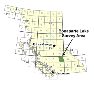
The Bonaparte Lake area in south-central British Columbia is prospective for a number of mineral deposit types, particularly copper porphyries. However, an extensive Quaternary cover, Tertiary volcanic cover and a lack of public domain geophysical data have limited exploration in the region.
Airborne gamma-ray spectrometry provides a physical measurement which contributes to geochemical mapping of the top 30 cm of the earth's surface. The technique provides bedrock and overburden mapping assistance by fingerprinting the radioactive element signatures inherent in all rocks and soils. Where the normal signatures are disrupted by mineralizing processes, anomalies provide direct exploration vectors.
When these two techniques are integrated into a single-pass airborne survey, they provide complimentary information that serves as a long-standing geophysical/geochemical framework, supporting new geological and practical mineral exploration models for a wide variety of commodities. For example, similar surveys conducted recently in areas adjacent to the Bonaparte Lake Survey have improved geological understanding and exploration for porphyry Cu-Au, skarn, and other deposit types.
A high-resolution aeromagnetic and airborne gamma-ray spectrometric geophysical survey in the Bonaparte Lake area (parts of NTS 92P and 093A) was completed in 2006. Funding for the survey was provided by Geoscience BC, Natural Resources Canada's Targeted Geoscience Initiative (TGI3), Candorado Operating Company Ltd., GWR Resources Inc. and Amarc Resources Ltd. Project management was undertaken by the Geological Survey of Canada. The western portion of the survey area was surveyed with a fixed-wing by Sander Geophysics Ltd., while the eastern portion was surveyed with a helicopter by Fugro Airborne Surveys.