Summary
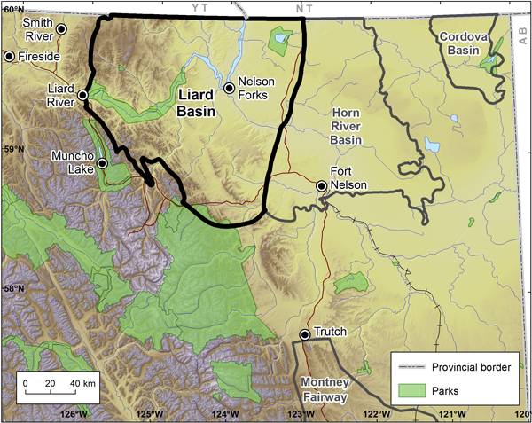
Located in northeastern BC and extending into the Northwest Territories and Yukon, the Liard Basin is an exciting prospect for unconventional gas and oil development. It is a part of the Western Canadian Sedimentary Basin and is flanked by faults, one of which separates it from the Horn River Basin. In 2012 both Apache Corporation (Apache) and Paramount Resources Ltd. announced major shale gas discoveries in the Liard Basin, supporting the potential for this basin to be a long-term producer.
Large amounts of water are required to develop unconventional hydrocarbon resources. This demands water sources capable of delivering large water volumes at high rates, and water disposal zones capable of accepting comparable volumes and rates. To this end, PRCL undertook a subsurface aquifer study in the Liard Basin to support systematic sourcing and disposal of waters for unconventional hydrocarbon development.
In early 2013, PRCL started a Geoscience BC project called, "Subsurface Aquifer Study to Support Unconventional Gas and Oil Development, Liard Basin, Northeastern BC". This project expanded on earlier work that PRCL did for Geoscience BC in the Horn River Basin and Montney Play development areas of northeast BC in response to major shale gas discoveries made in the Liard Basin in 2012.
Aquifers-underground layers of water-bearing permeable rock-play a key role in both providing and disposing of water used for natural gas development (called frac waters; from the process of hydraulic fracturing). While shallow aquifers are only suitable locally for source water, only deep aquifers are suitable for water disposal, to ensure the frac fluids do not migrate to drinking water aquifers. Further research into the use of aquifers in unconventional oil and gas development projects will help to improve safety and reduce the risks associated with development processes, thereby helping to make BC a safer and more economically sound province.
Relevant well data were collected across aquifer intervals from public and proprietary sources and supplemented with regional geological mapping and information from outcrop. Regional correlations were created by building a grid of regional stratigraphic cross-sections tied to core and sample cuttings data; these formed the basis for picking a stratigraphic database focused on potential aquifer intervals. Hydrogeological characterization was undertaken drawing on a well test database consisting of 256 tests from 157 well entities. Drillstem tests were used to interpret formation permeabilities and reservoir pressures. Four aquifer intervals were investigated in detail:- Mississippian platform carbonate rocks comprising the Rundle Group, including the Debolt Formation and the younger Fantasque Formation;
- Mattson Formation sandstone;
- Lower Cretaceous sandstone including chinkeh and Scatter Formations; and,
- Upper Cretaceous Dunvegan Formation sandstone and conglomerage.