The Need
The East Kootenay region of southeastern British Columbia hosts numerous rich mineral deposits, including the world-class Sullivan zinc, lead and silver deposit, and has potential to host many more.
However, it is difficult to identify where to focus mineral exploration activities because there is an incomplete understanding of the complex rock units and their relationships to each other. A clearer understanding of the geological history of the area helps to better understand the region’s mineral potential.
Project Goals
This Minerals project fits under Geoscience BC’s Strategic Objective of ‘Identifying New Natural Resource Opportunities’ and our goal to:
- Undertake research that adds value to existing or ongoing data sets through ground-truthing studies, data interpretation and mining camp compilations.
Specifically, this project looked for clues in the rocks that reveal how deeply they were buried, what temperatures they reached, and how they were deformed, to provide information about the relationship between the Purcell Anticlinorium and the adjacent Kootenay Arc.
Project Benefits
The new earth science information generated by this project will increase exploration efficiency by enabling smarter targeting based on a deeper understanding of the rocks and structures.
In addition to identifying mineral opportunities, the availability of new regional earth science data provides Indigenous groups, regional districts, governments and communities with a better understanding of the resources in their area leading to more informed land-use and resource management decisions.
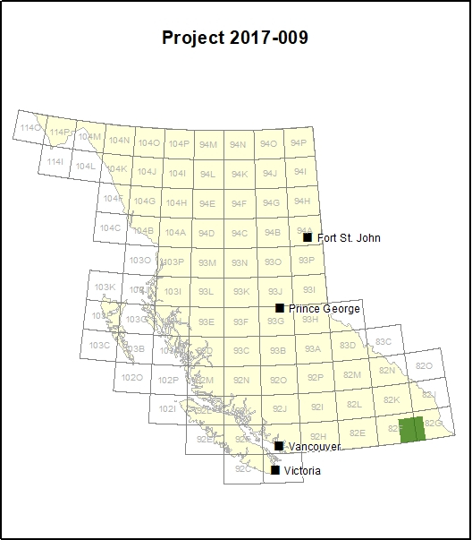
Survey Area
The area of investigation for this project lies between Creston, Nelson, and Crawford Bay in the East Kootenays in BC’s Southeast Region.
Geologically, it is on the eastern limb of the Purcell Anticlinorium and the Kootenay Arc, both regionally important tectonic units associated with mineral deposits in the region.