Summary
 This project evaluates four favourable areas for potential geothermal development in northeastern British Columbia: Horn River, Clarke Lake, Prophet River and Jedney.
This project evaluates four favourable areas for potential geothermal development in northeastern British Columbia: Horn River, Clarke Lake, Prophet River and Jedney.
This project evaluates four favourable areas for potential geothermal development in northeastern British Columbia: Horn River, Clarke Lake, Prophet River and Jedney. Geothermal resources may play a significant role in the long-term energy strategy for BC as we transition to alternative energy sources to generate electricity and heat. However, a major barrier to geothermal development is its high level of uncertainty in terms of cost and available resource.
To help answer questions surrounding potential geothermal resource development in northeastern British Columbia, this study quantifies the amount of electricity that could be produced at four locations and estimates the cost for operating those plants.
The project:
The results from this project build on previous geothermal research in the project area to improve our understanding of the investment required for geothermal exploration and development in northeastern BC along with potential levelized costs of electricity.
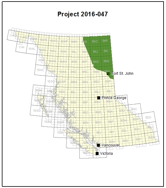
The area of investigation is in northeastern British Columbia. It extends east of the Rocky Mountains to BC’s border with Alberta and north of Fort St John to the border with the Northwest Territories. The underlying geology is the BC portion of the Western Canada Sedimentary Basin (WCSB).
Northeastern BC has been subject to substantial oil and gas development, and a significant public database of well data is available from the BC Oil and Gas Commission (BCOGC). In this study, the BCOGC database was used to assess potential electricity production and the cost of geothermal power plants in the BC section of the WCSB.
The researchers created a geothermal favourability map of northeastern BC. In conjunction with geological and economic criteria, they used the map to select four favourable sites: Horn River, Clarke Lake, Prophet River and Jedney. For each site, researchers used the area of known gas pools to estimate geothermal reservoir areas and to estimate power plant sizes (‘proxy power plants’). From this, the amount of available electric power (in megawatts, MW) that could be generated was estimated based on variables such as volume, flow rates, and salinity.
Simple economic models were developed for each of the four proxy power plants, using capital costs (cost to build the plant and drill the necessary number of wells) and specific measures of financial viability (see below), to find the levelized cost of producing electricity in dollars per mega-watt hour (MWh) of energy produced.Horn River: 3.7 MW @ 162 $/MWh
Clarke Lake: 44.5 MW @ 166 $/MWh
Prophet River: 22.0 MW @ 144 $/MWh
Jedney: 7.8 MW @ 156 $/MWhCalculations used to compare financial viability of the four projects include: