Summary
 This project was designed to add value to Regional Geochemistry Survey (RGS) data from the QUEST-South project based on an analysis of catchment size and levelling of the data for catchment bedrock geology. Data levelling will be based on exploratory data analysis (EDA) and ground proofing of the results against known mineral deposits and occurrences using an approach that is methodologically proven. In this respect the project represents an enhancement of the geochemical atlas provided by Lett et al. (2008), rather than a duplication of this work, as it seeks to identify true geochemically anomalous catchments within the data set by levelling the data for the effects of sediment dilution in catchments of variable size. An expert interpretation of the RGS geochemistry data will generate new validated exploration targets, and thus stimulate exploration using an existing dataset that has cost both the Federal Government and the Province of British Columbia a considerable amount of effort to obtain. In addition, catchment analysis will allow an assessment of the adequacy of the existing RGS data coverage for future in-fill and follow-up surveys.
Although the methodology proposed is well established and documented, it is beyond the capacity of most small to mid-tier exploration companies to undertake as it requires a competent level of geochemical expertise to process the data effectively. This project provides all companies exploring in the QUEST-South project area with access to a high level interpretation of the RGS data done by the largest global consultancy group of applied geochemists.
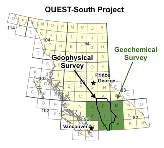
Catchment analysis and interpretation of geochemical data have been undertaken for 9041 stream sediment samples from the QUEST-South project area of southern British Columbia. The geochemical data consist of new analyses for 8536 archived regional geochemical samples (RGS) that were previously re-analyzed by Geoscience BC (Report 2010-04) using modern analytical methods and 785 new stream sediment samples collected to augment the existing RGS samples (Report 2010-13). A range of digital products accompany this report. These include a spreadsheet containing the compiled stream sediment data, catchment areas and dominant bedrock type; GIS files showing sample locations and catchments; a series of gridded geotiff images for raw, levelled and residual data for most elements; gridded pathfinder associations for a number of common mineral deposit types (orogenic Au, epithermal Au, base metals and porphyry Cu deposits) as geotiffs and pdf maps; and RGB thematic maps for these pathfinder associates. The levelled and residual data provide new insights into the regional stream sediment geochemical data, and reveal subtle trends and areas of elevated metal concentration that may warrant follow-up investigation.