Summary
3D models are becoming standard for exploration data interpretation.
 Drill hole targeting based on the integration of geophysical inversions with geological interpretation requires understanding of the relationships between physical rock properties, lithology, and alteration typical of the relevant exploration setting. This understanding in turn requires a technology capable of accessing and querying large volumes of measured physical rock property data. Improved understanding of rock property relationships in mineral exploration settings is the objective of this project.
This one-year project focused in British Columbia was to enable entry of a significant amount of BC data into the RPDS and allow immediate application to programs in the Central BC MPB Area and the Southern BC TGI 3 area. The builtin analysis applications between UBC and GSC will demonstrate utility of the RPDS system for subsurface interpretations.
It has been recognized that access to physical rock properties is a primary requirement to model geophysics of rocks under cover. Mira Geoscience, the Geological Survey of Canada (GSC) and CAMIRO are moving forward to develop a fully operative, web-based and populated National Rock Property Database System (RPDS). This project intended to:
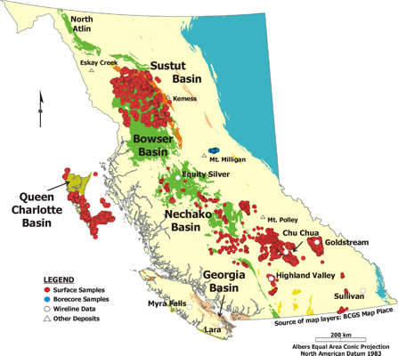
- enter a significant amount of BC data into the system including all existing well-log data;
- set up a rock property database for the Central BC Priority MPB study area;
- set up a database for the southern BC study area for Targeted Geoscience Initiative 3;
- carry out initial analysis and demonstrate applied use of the data at UBC under direction of Nigel Phillips and the GSC in collaboration with Mira Geoscience; and
- hold a workshop for the BC Industry to explain the rock property database system and its application to modeling and interpretation of regional geophysics.
RPDS is a mature, relational rock property database in continuous development since 1998. Its development has been funded through a series of R&D initiatives, originally by a consortium of industry sponsors and the GSC.