Summary
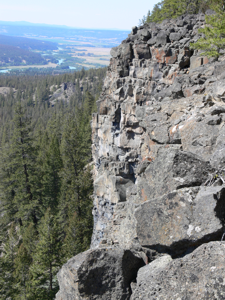
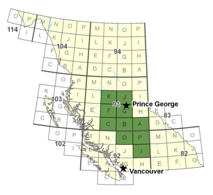 The Neogene (25-- 3 Ma) Chilcotin flood basalt province, in the Interior Plateau physiographic region of central British Columbia overlies an area of nearly 36,500 km2 (NTS sheets 92O, P, and 93A, B, C, F, G, K, J). Previous studies of the CFB mainly involved reconnaissance-scale fieldwork or geochemical studies. It obscures the distribution of Paleozoic- Mesozoic basement rocks with high mineral potential (e.g., Quesnel Trough) and petroleum prospective Cretaceous- Eocene sedimentary rocks of the Nechako Basin, except in scattered basement "windows". The Chilcotin flood basalts (CFB) reach thicknesses of ~200 m and are partially overlain by late Quaternary glacial deposits. Their distribution is entirely within the region of BC that is most affected by Pine-beetle kill.
 The distribution of resources and prospects on the periphery of the CFB province makes the potential for unexploited mineral resources extending beneath the cover compelling. However, there is currently little coherent data on the spatial distribution (e.g., thicknesses), the lithostratigraphy (facies variations) and physical properties (density, porosity, magnetic susceptibility, conductivity) of the CFB deposits. The incompleteness of geoscience information for this unit is a significant impediment to successful exploration for the resources underlying the CFB because the depth through cover (glacial and basalts) to basement targets is largely unknown, and the dearth of rock property data for the basalts hinder unambiguous interpretations of geophysical datasets.
Our map products will be used to: (1) extrapolate regional geology, metallogeny and structure beneath the CFB cover; (2) identify more windows to the basement and the identity and geophysical signature of those basement rocks; (3) delineate areas where the CFB is thin and exploration drilling for "blind" deposits becomes feasible; and to (4) provide a 3-D representation of physical property variations within the CFB to allow the basalt signature to be accurately stripped from total field geophysical datasets.