Summary
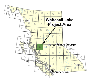 The primary objective of this project is detailed geologic mapping (1:50,000) and economic mineral assessment of the eastern Coast Plutonic Complex and western Stikinia in the southwestern and western Whitesail Lake map-area (including parts of 93E04, 05, 06, 12).
The map-area straddles the transition between the Coast and Intermontane morphogeologic belts, and contains significant exposures of Mesozoic arc assemblages, including the Jurassic (Hazelton) and Cretaceous (Monarch, Kasalka) volcanic arc successions. These units are known hosts of vein, porphyry, and volcanogenic massive sulfide (VMS) mineralization (e.g., the Nifty occurrence in Bella Coola map-area), and are known metal producers in other parts of the Cordillera. Stream sediment geochemistry, MINFILE data and detailed geologic mapping farther north in Whitesail Lake map-area, and to the south (eastern Bella Coola map-area), indicate potential for volcanogenic massive sulphide, Cu±Mo±Au porphyry, and Ni-Cu-Cr-PGE mineralization. Detailed geologic mapping, systematic geochemistry, geochronology, petrology and economic mineral evaluation will constrain the distribution of and controls on potential economic mineralization in the region.