Summary
 A high-resolution aeromagnetic survey was flown over the Jennings River map area (NTS 104 O), northern British
Columbia. The survey was flown under contract by Goldak Airborne Surveys, Saskatoon. The survey provides public,
1:250,000 scale aeromagnetic coverage where none previously existed. This type of survey often sparks new private
sector investment in resource exploration, consistent with the mandate of Geoscience BC, as well as Natural
Resources Canada's Earth Science Sector's Northern Resource Development Program.
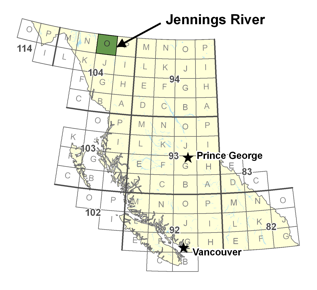
A high-resolution aeromagnetic survey was flown over the Jennings River map area (NTS 104 O), northern British
Columbia. The survey was flown under contract by Goldak Airborne Surveys, Saskatoon. The survey provides public,
1:250,000 scale aeromagnetic coverage where none previously existed. This type of survey often sparks new private
sector investment in resource exploration, consistent with the mandate of Geoscience BC, as well as Natural
Resources Canada's Earth Science Sector's Northern Resource Development Program.The Jennings River map area in northern BC is considered prospective for a number of mineral deposit types including carbonate hosted Ag-Pb-Zn deposits, porphyries (Mo and W), and skarns (Cu and Mo). In addition, the possibility of volcanogenic massive sulphide occurrences is indicated by belts containing felsic rock contemporaneous with such deposits in neighbouring Yukon. Despite these positive factors exploration in the region has been limited. In part this can be attributed to the extensive Quaternary cover, the lack of public-domain geophysical data, and the status of geological mapping. Although regional bedrock maps were produced for the northern half of the map area in the past decade or so (Mihalynuk et al., 2000, 2001; Nelson and Bradford 1993; Nelson et al., 2000, 2001), mapping in the southern half of the map area dates from the 1960's and is reconnaissance in scale (Gabrielse, 1969).
Aeromagnetic surveys provide a rapid, cost-effective means of preliminary geological evaluation of large tracts of bedrock and are an integral component of basic resource exploration infrastructure. The data acquired by these surveys provide information on lithology and the extent of regional rock units, help delineate fault and dyking patterns, and allow for the estimation of source depths. In regions of poor exposure, aeromagnetic data would be valuable for extrapolating mapped geology beneath areas of cover. Therefore, it is expected that the new data acquired in Jennings River will significantly advance understanding of the geologic and mineral resource potential of the area.